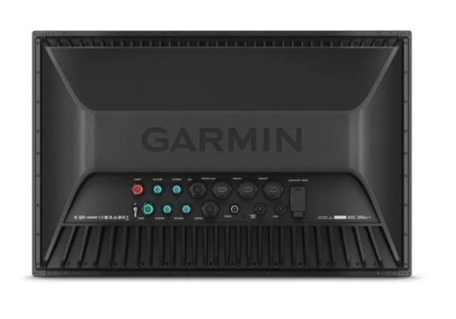
Garmin GPSMAP 9227, 27" Premium Chartplotter with Garmin Navionics+
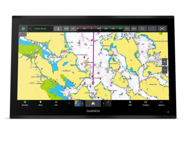
When navigating coastal waters, planning longer boating trips, or managing a vessel's onboard electronics, having a large, clear navigation display helps you make informed decisions on the water. The Garmin GPSMAP 9227 is a premium marine chartplotter designed for boat owners, yacht operators, and professional marine users who need detailed charts, navigation tools, and convenient access to connected onboard systems.
Featuring a 27-inch diagonal 4K IPS touchscreen display with a resolution of 3840 x 2160 pixels, this chartplotter provides a detailed viewing experience for marine charts and navigation information. Its flush or flat mounting options allow integration into suitable helm consoles, making it a practical choice for modern yacht bridges and larger vessel control stations.
The Garmin GPSMAP 9227 comes with Garmin Navionics+ inland and coastal mapping and supports additional chart options, including Garmin Navionics Vision+, TOPO 100K, Garmin Quickdraw Contours, and raster charts. With support for up to 5,000 waypoints, 50,000 track points, 50 saved tracks, and 100 navigation routes, it helps boaters plan journeys, mark important locations, and manage navigation data.
Multiple satellite navigation systems, including GPS, GLONASS, Galileo, and BeiDou, support positioning capabilities, while the included receiver operates at 10 Hz. Compatibility with NMEA 2000 and NMEA 0183 allows integration with supported marine electronics, and Garmin BlueNet network ports provide additional connectivity for compatible onboard systems and equipment.
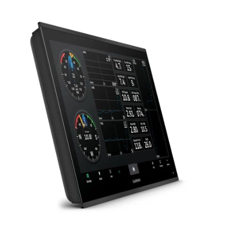
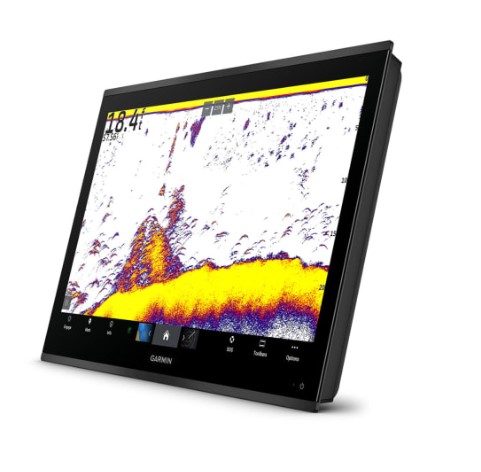
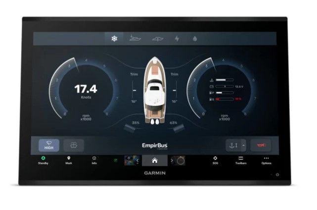
Designed for advanced marine navigation setups, the GPSMAP 9227 also supports compatible AIS and DSC equipment, Fusion-Link compatible radios, ActiveCaptain, and compatible black-box sonar systems. Its HDMI video connections, USB-C ports, and OneHelm support provide additional integration options, making it suitable for vessels requiring a large-format chartplotter as part of a connected navigation and monitoring system.
Key features
• 27-inch diagonal 4K IPS touchscreen display with 3840 x 2160 resolution
• Garmin Navionics+ inland and coastal maps included
• IPX7 water rating for marine environments
• Supports GPS, GLONASS, Galileo, and BeiDou satellite systems
• Includes a 10 Hz receiver for positioning updates
• Stores up to 5,000 waypoints and 100 navigation routes
• Four Garmin BlueNet network ports and NMEA 2000 connectivity
• Supports compatible black-box sonar, AIS, DSC, and Fusion-Link radios
SPECIFICATION
| General |
|
| Dimension |
25.8" x 16.7" x 3.3" (65.5 cm x 42.3 cm x 8.5 cm) |
| Weight |
27.65 lbs (12.54 kg) |
| Water rating |
IPX7 |
| Touchscreen |
Supported |
| Display Type |
4K, IPS |
| Display Size |
23.5" x 13.2" x 27.0" diagonal, 59.7 cm x 33.6 cm x 68.5 cm diagonal |
| Display resolution |
3840 x 2160 pixels |
| Mounting Options |
Flush or flat |
| Input |
Touchscreen |
| Maps & Memory |
|
| Accepts Data Cards |
2 SD Cards |
| Compatible with Garmin SD card reader |
Supported |
| Waypoints |
5000 |
| Track points |
50,000 |
| Tracks |
50 saved tracks |
| Navigation Routes |
100 |
| Sensors |
|
| GPS |
Supported |
| GLONASS |
Supported |
| Galileo |
Supported |
| BeiDou |
Supported |
| Receiver |
10 Hz (included receiver) |
| NMEA 2000 Compatible |
Supported |
| NMEA 0183 Compatible |
Supported |
| Supports WAAS |
Supported |
| Supports multi-band, multi-constellation GPS |
Supported |
| Built-in Maps |
|
| Built-in Auto Guidance+ |
Supported |
| Garmin Navionics+ (inland and coastal) |
Supported |
| Tide tables |
Supported |
| Optional Map Support |
|
| Garmin Navionics+™ |
Supported |
| Garmin Navionics Vision+™ |
Supported |
| TOPO 100K |
Supported |
| Garmin Quickdraw Contours |
Supported |
| Raster chart support |
Supported |
| Chartplotter Features |
|
| Smart Mode Compatible |
Supported |
| AIS |
Supported |
| DSC |
Supported |
| Supports Fusion-Link™ compatible radios |
Supported |
| GSD black box sonar support |
Supported |
| GCV black box sonar support |
Supported |
| ActiveCaptain® compatible |
yes |
| GRID (Garmin Remote Input Device) compatible |
Supported |
| Wireless Remote Compatible |
Supported |
| Sailing features |
Supported |
| Spoken audio alerts |
Supported |
| OneHelm support |
Supported |
| Electrical Features |
|
| Power Input |
10 to 35 Vdc |
| Typical current draw at 12 Vdc |
7.2A |
| Maximum current draw at 12 Vdc |
8.1A |
| Maximum power usage at 10 Vdc |
97W |
| Networking & Connections |
|
| NMEA 2000® ports |
1 |
| NMEA 0183 Input (Rx) Ports |
1 |
| NMEA 0183 output (Tx) ports |
1 |
| Video input ports |
1 (BNC composite); 2 HDMI (HDCP compliant) |
| Video output ports |
1 HDMI |
| J1939 ports |
1 |
| Garmin BlueNet network ports |
4 |
| USB ports |
yes (2x USB-C) |
| Bluetooth® pairing |
Supported |
| ANT® (connectivity) |
Supported |
| Garmin Wi-Fi network (local connection) |
Supported |
| Audio output |
Supported |